By Korey Lofy, High Plains Technical Manager
Drought is a complex environmental condition that can affect ecosystems for months or even years. Understanding how it is defined and measured can help homeowners and plant health care professionals preserve trees, lawns, and landscapes.
What Is Drought?
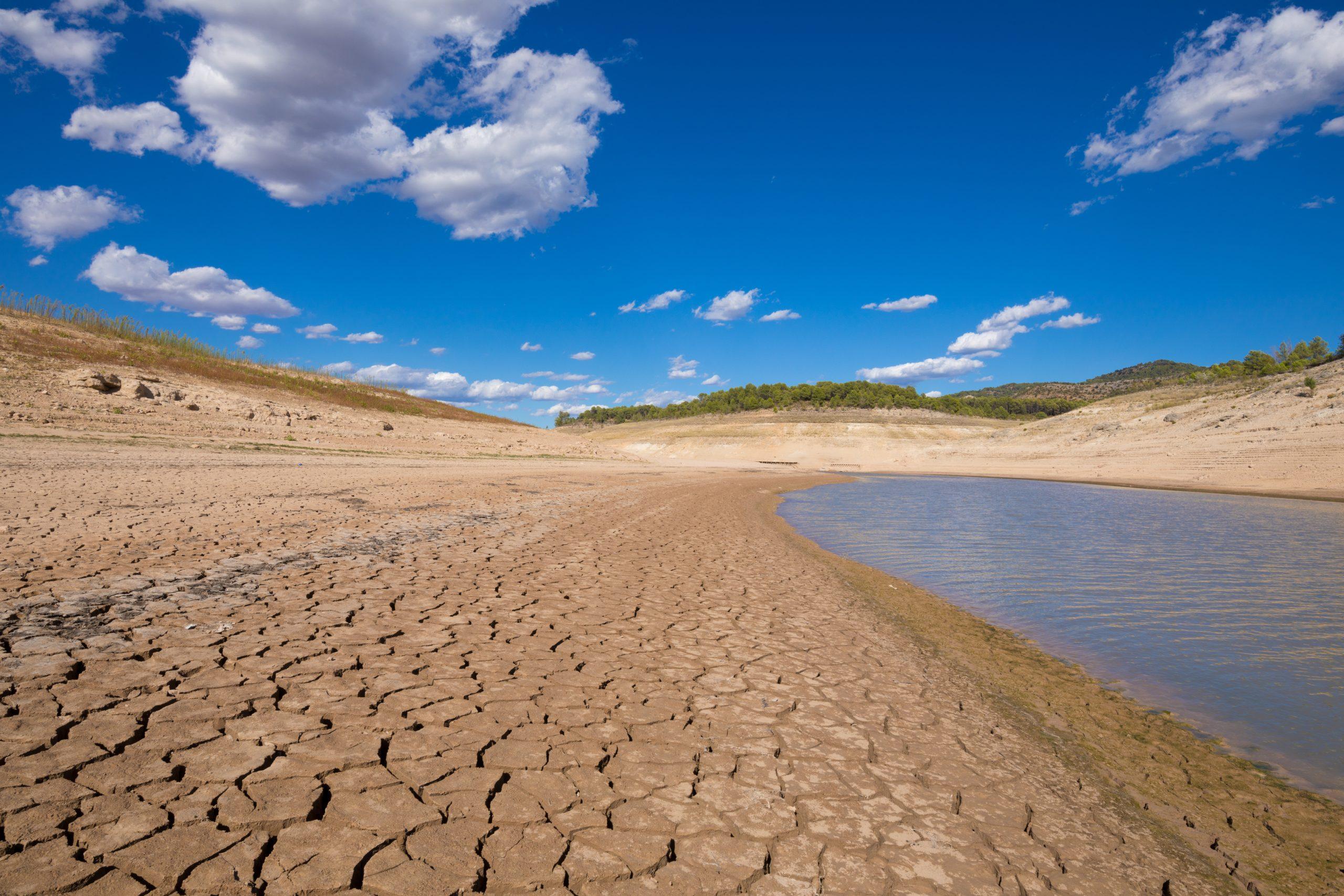
Drought is an extended period of below-average precipitation, which eventually results in a water shortage.
Drought develops slowly over time; a few weeks without rain may not create the associated conditions. When precipitation is less than expected for an extended period, soil moisture, groundwater, streams, and reservoirs experience a decline in water.
Drought occurs in almost all climates and can vary significantly in terms of severity and duration. Its impacts may include:
- Reduced soil moisture
- Water supply shortages
- Increased wildfire risk
- Plant and tree stress
- Reduced agricultural productivity
- Ecosystem disruption
For trees, lawns, and landscapes, drought poses a plant health risk long before visible symptoms appear.
What Are the Different Drought Classifications?
In the United States, drought conditions are categorized by the U.S. Drought Monitor (USDM), which uses five classifications to describe severity.
D0 – Abnormally Dry
This is often considered a warning stage rather than an official drought. Conditions may include:
- Dry soil
- Reduced streamflow
- Early signs of vegetation stress
D1 – Moderate Drought
Impacts may begin to appear in agriculture, landscapes, and water supplies.
- Stressed vegetation
- Reduced soil moisture
- Increased irrigation demand
- Voluntary water conservation
D2 – Severe Drought
At this stage, drought indicators become more widespread.
- Significant plant stress
- Reduced crop yields
- Localized water shortages
- Increased wildfire potential
D3 – Extreme Drought
Major impacts are felt across the board. The effects include:
- Widespread tree decline
- Significant agricultural losses
- Reservoir reductions
- Mandatory water restrictions
D4 – Exceptional Drought
This represents the most severe drought classification. Potential ramifications are:
- Extensive ecological damage
- Major agricultural losses
- Critical, widespread water shortages
- Long-term effects on forests and landscapes
Who Decides When We’re in a Drought?
No single agency can declare drought conditions. The U.S. Drought Monitor is a combined effort overseen by the:
- National Drought Mitigation Center (NDMC)
- S. Department of Agriculture (USDA)
- National Oceanic and Atmospheric Administration (NOAA)
Each week, climatologists and drought experts analyze a wide range of data, including:
- Rainfall and snowfall totals
- Soil moisture measurements
- Streamflow levels
- Groundwater conditions
- Reservoir storage
- Vegetation health indicators
- Local impact reports
Using these sources, experts assign classifications for regions nationwide.
The resulting map is the country’s most widely recognized drought-monitoring tool, and it is used by federal, state, and local agencies.
What Has to Happen for Drought Classifications to Change?
Drought recovery is often slow, and classifications don’t rely on recent rainfall alone.
Experts evaluate whether precipitation has been sufficient to improve:
- Soil moisture levels
- Groundwater reserves
- Reservoir storage
- Stream and river flows
- Vegetation health
In some cases, weeks or months of above-average precipitation may be required before conditions are reclassified. Similarly, drought can worsen quickly when high temperatures combine with periods of limited rainfall. Recovery timelines extend as moisture deficits increase or prolong.
How Long Do Droughts Usually Last?
There is no set duration for a drought. Some last a few weeks or months, while others can persist for years. The timeline depends on factors such as:
- Regional climate patterns
- Seasonal precipitation
- Temperature
- Soil moisture conditions
- Groundwater and reservoir levels
Short-term droughts may develop during a single growing season and improve with several weeks of consistent rainfall. Long-term droughts can take months or years to recover from because water deficits affect groundwater, rivers, lakes, and reservoirs.
For example, a landscape may receive enough rain to “green up” lawns and vegetation. At the same time, deeper soil layers and groundwater reserves may still remain below normal. This is why drought classifications do not always improve immediately after a major rainstorm.
Where Can I Find Out If I’m in a Drought?
The best source for current drought conditions in the United States is the U.S. Drought Monitor. The map is updated every Thursday and provides:
- Current drought classifications
- Weekly changes
- Historical drought information
- Regional drought summaries
Users can zoom into their state, county, or region to view current conditions.
Additional drought information is available through:
- NOAA’s National Integrated Drought Information System (NIDIS)
- State climatology offices
- Local extension services
- State forestry agencies
- Water management districts
Plant health care professionals should monitor drought conditions regularly. Classification changes can influence irrigation planning, tree health assessments, and proactive management decisions.
Why Drought Monitoring Matters for Trees
Trees often experience drought stress long before symptoms become visible. By monitoring drought classifications and understanding local conditions, homeowners and PHC professionals can identify risks earlier and make informed management decisions. Early awareness can help support:
- Tree health preservation
- Water management planning
- Landscape resilience
- Long-term plant performance